Elizabeth River Trail
Category: Parks & Trails
Address
Norfolk, VA 23510
Details
Downtown Norfolk Council Member
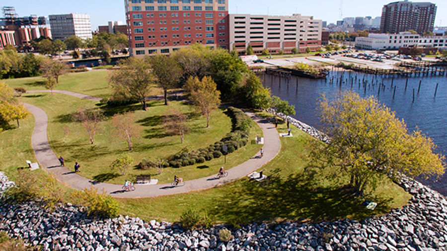
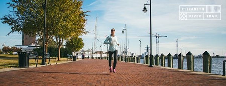
The nine-mile Elizabeth River Trail, which runs from Norfolk State University following the Elizabeth River northward to Terminal Boulevard, began with an abandoned railroad spur being transformed into a walking and bicycle trail. The Atlantic City Spur section of the trail neighbors the Midtown Tunnel and adjacent Plum Point Park. The Trail can be accessed at various points along the Elizabeth River to include Town Point Park, the end of Southampton Avenue near the public health building, or at Claremont Avenue near Raleigh Avenue in West Ghent. The trail offers scenic views of the Elizabeth River and interpretive markers tell the history of the area and environment.


Nearby Dining
- Blue Moon Taphouse333 Waterside Drive (356 feet E)
- Guy Fieri's Smokehouse333 Waterside Drive (356 feet E)
- Stripers Waterside333 Waterside Dr (356 feet E)
- PBR Norfolk333 Waterside Drive (381 feet E)
Nearby Shopping
- Prince Books109 East Main St (695 feet NE)
- Rich Port Coffee150 West Main Street (751 feet NE)
- VA Goods208 E. Main Street (751 feet NE)
- Werther Leather Goods208 E. Main Street (751 feet NE)
Nearby Attractions
- TowneBank Fountain Park Waterside Dr (182 feet NE)
- Waterwork Town Point Park (283 feet NW)
- City Cruises Norfolk173 Waterside Drive (292 feet NW)
- Elizabeth River Waterway (390 feet SE)
Nearby Parking Garages & Surface Lots
- Waterside Garage50 Martin's Lane (488 feet NE)
- Town Point Garage110 West Main St (858 feet N)
- Main Street Garage230 East Main St. (891 feet NE)
- Garage at The Main Hotel100 East Main St (1041 feet NE)